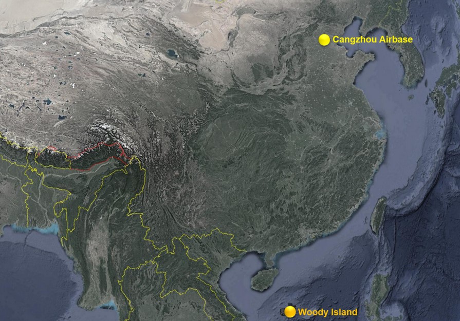
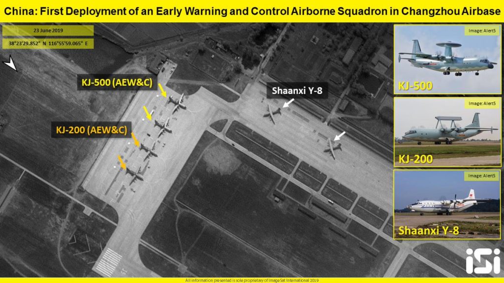
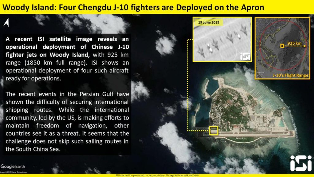
Israel’s ImageSat International released satellite images showing the recent deployment of Chinese early warning and control airborne aircraft at the Changzhou Airbase and J-10 fighter jets on the Woody Island.
So Israel is a biggest spy.It spy on other sovereign states and instigating Trump to attack.
blow up the satellite.
Easy solution
Unlike Russia who turns off the satellites cameras when they fly above other sovereign states.
All countries spies on other countries absolutely nothing new or “illegal” there.
Thanks but why is it a big issue if Russia or Iran or anybody else spy on Israel,USA or NATO. Please help me out on this one please a humble request.
An airplanes range is allways best case scenario; no payloads, best throttle setting, height, wind etc, so it means close to nothing in a real situation.
Combat radius on the other hand, is something completely different, its a realistic representation of the platforms range in a typical mission setup.
Everybody is preparing for the American attack.
The photo inset again mentions the “freedom of navigation” bs making it seem like a problem. The only problem at present is the unfettered sailing of US warships all over the globe.
great job CHINA