Originally appeared at ZeroHedge
New mapping technology that is expected to transform training and simulation exercises for America’s warfighters was unveiled at the IEEE Transportation Electrification Conference and Expo (ITEC) 2019 conference on May 15 in Stockholm, Sweden, reported National Defense Magazine.
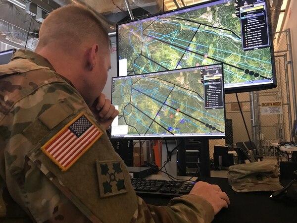
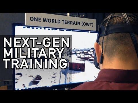
Jason Knowles, director of geospatial science and technology at the University of Southern California’s Institute for Creative Technologies, an Army affiliated research center, spoke at ITEC about the new terrain capture and reconstruction software that recreates complex environments including cities for simulation exercises and war planning. The institute is part of a cross-functional team working on the mapping software (called One World Terrain (OWT) project).
Knowles described the new software as “Google Earth on steroid.”
At a briefing during ITEC, Knowles showed the audience a picture of an enemy base that was captured and digitally re-created in about an hour using commercial software and a small drone. “We were able to throw that UAS up, capture that in an hour, put it on the laptop, process it, and push it out,” he said.
“The ability to have an individual or a squad go out, collect their own organic 3D model for ingesting into their modeling and simulation is huge for us,” he said.
“The interior of buildings are now being fused and snapped inside of that 3D model,” Knowles said. The software can “strip the outside of a building level by level and see what’s inside the building. That’s obviously very useful for operators.”
He said the software is linked with GPS data so war planners can organize future real operations.
The rapid 3D terrain capture and reconstruction system is supported by aerial imagery from satellites and aircraft. For higher resolution, reconnaissance teams can deploy small, handheld drones to collect much higher resolution imagery, he added.
The software uses machine learning and artificial intelligence for the data merging component to “make the model smart, so it’s not just [identifying objects in] pictures,” he said. For example, it can tell troops if a perimeter wall of an enemy base needs to breached with a vehicle or munition.
The new mapping software is one of the Army’s top modernization priorities, besides long-range precision missiles, next-generation combat vehicle, future vertical lift, air-and-missile defense, directed energy weapons, next-generation combat rifle, and soldier lethality.


I have read the reference and fail to see how they can see inside buildings. Sounds like wishful thinking to me. Just put a thin metallic foil as insulation in the walls and roof and then even xrays wont penetrate the building much less see inside it?
Maybe backscatter? How?
They just make a law forbidding that, due to “health and firehazard concerns”
True but many, including I, would ignore it.
Meanwhile, whilst you are taking the pictures, you are blown to smithereens – you retarded, war mongering shysters.
I was thinking the same, Al.
A consequence of all of this, however accurate the information may be, is the same as the introduction of the Sat-Nav, where traditional map reading skills have been lost by the majority of fighting age men and women today.
A few years ago I was asked for directions by two or three young adults on their way to Brighton. Their sat nav had failed and they wanted directions as they had lost their way.
Their journey had started hours earlier in the North East ( of the UK) and I was in Birmingham (the middle of the UK). Brighton is a long way from there ( about 160 miles South of Birmingham) as we both know, Al:)
The moral being that ‘Technology is fine when it works but silly to totally rely on’.
Strange thing about that comment is the timing. I recently had a problem with my whole “computer” in my car, it just blue screened or whatever they call it.
As you say, no longer do we have maps, I managed to get home, from Manchester (UK) via Dover without much of a fuss, but and a big butt, I was amazed at the reaction of my wife – not only sceptical that I knew what I was doing, but she was absolutely lost; and panicking -> getting her mobile out blah blah, my Son is the same without his mobile.
We are too reliant on technology, no wonder half of the UK and Europe (in general) is brain dead and brainwashed.
Being old fashioned, I prefer to use paper maps to plan a route. One reason being that its easier to see points of interest across a large area , that a diversion can make part of the journey.
Call me a tinhat, but perhaps thats why they want 4G/5G in every lightpole across Denmark, every home to have a robotic vacuum cleaner and robotic lawnmower with mapping abilities, several WAP in every home, constant locationservice on your phone, almost unlimited data plans etc etc.
I believe that they can look into your home, but not the way they want you to think, but through the backdoor through your phone, webcams, tv and other smart devices.